Database Identifies Every Public Open Space
- Feb 25, 2010
- 1 min read
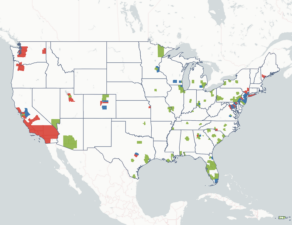
The nonprofit organization GreenInfo Network has released a newly revised database that attempts to identify every publicly protected parcel of open land in California, ranging from national forest to urban pocket park. The database inventories 49 million acres of protected land composed of 51,500 separate holdings owned by 860 governmental agencies or nonprofit organizations. Downloadable for free, the information should be of use to planners, academics, government agencies, nonprofit organization, businesses and others, said Larry Orman, GreenInfo Network executive director.
According to the database, the United States Forest Service is the largest owner of protected public land in California, with about 20.7 million acres, followed by the Bureau of Land Management with 15.1 million acres. San Bernardino and Inyo counties have the most public open land, with 8.6 million and 6 million acres, respectively.
The California Protected Areas Database is available at www.calands.org.